Finding its Place in the Revolutionary War
ORW / Mount Independence
Integrated Wayfinding Program for Mount Independence State Historic Site in Orwell, Vermont
Project Description
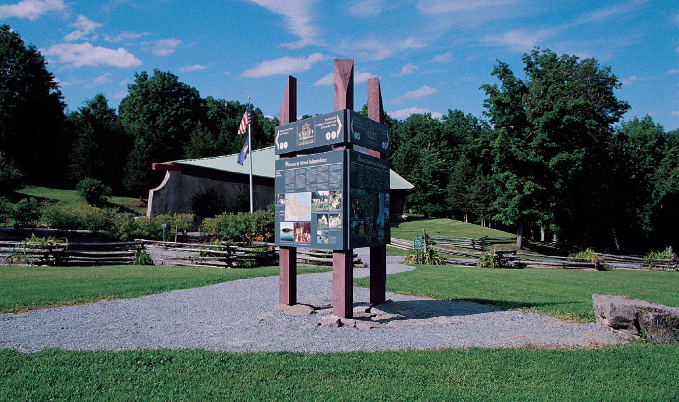
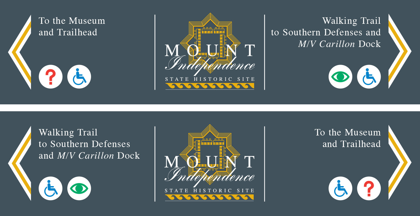
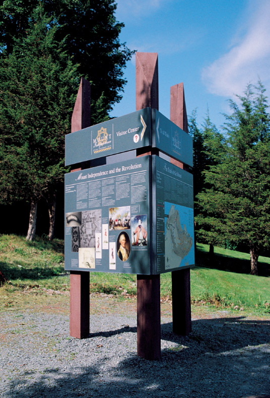
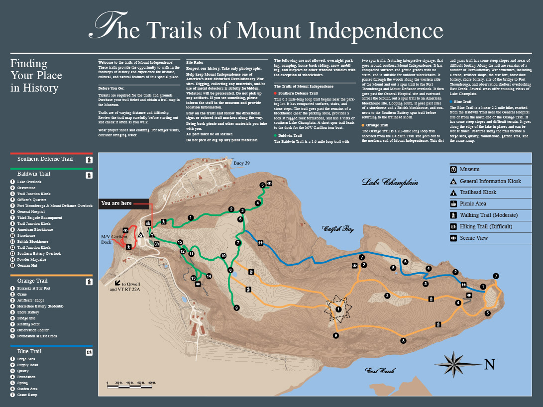
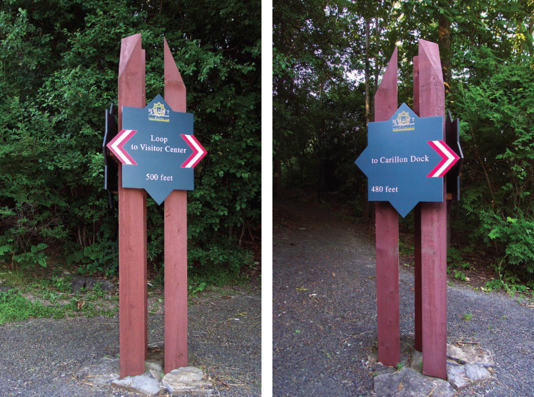
For the Environmental Graphics Program at Mount Independence State Historic Site, Charles Gibson Design and ORW Landscape Architects and Planners of White River Junction, Vermont collaborated on the design and implementation of a comprehensive wayfinding program of directional signage and interpretive markers. Three-sided kiosks at the Visitor Center, trailhead, and at primary junctions along the Baldwin Trail feature directional information integrated with interpretive panels on the history and archaeology of this Revolutionary War site. Arriving visitors receive their initial orientation atop the General Information Kiosk on their way to the Visitor Center. At the Trailhead Kiosk, hikers familiarize themselves with the color-coded trail routes and historic location icons of the master site map. Throughout the sign program, verbal directions are accompanied by international icons for “information”, “accessibility”, and ”vista“ and, at trail junctions, distances in feet.
Timber posts used for the Kiosks and secondary directional signs reference the “stockade”-derived structural module used in the Visitor Center’s permanent exhibition. The eight-pointed panels of the secondary directional signs pay homage to the “Star Fort”, once standing as the core fortification of the Site’s Revolutionary War build-up, and the background motif for the Site’s existing logo. The star’s points provide organically-formed “nesting” places for patriotically-striped directional arrows.
